Hydrographic survey equipment is used to help people to gather information about the waters that are navigable around the globe. This then helps to ensure that the main ships, boats, yachts and liners that travel the seas, oceans, rivers and lakes of this world can do so safely.
Mainly this equipment is used for surveying navigable waters, but it can also be used in relation to marine navigation which helps us to understand better the state of the sea floor and the ways in which it is changing.
However this kind of equipment is mostly used today by offshore oilfield companies. They use it to inspect the sea floor during the initial stages when they are considering where place these oilfields. They will also use it through out the time the oilfields are located where they re to carry out regular inspections of the infrastructure surrounding the rigs.
All the information that is collected during such surveys is done so under strict rules in order that the data can be accurately chartered. As well as providing data on the features of the sea, ocean or river bed it will also include shore features as well can be used by sailors to navigate by.
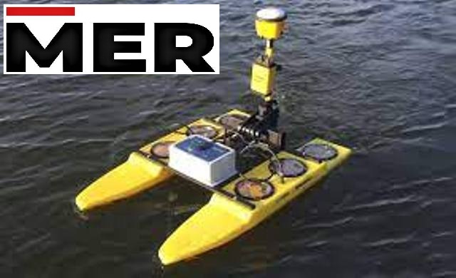
Initially such surveys were carried out through the use of a ship which had an echo sounder on board. Which would send beams of sound down to the sea bed and these would then echo back and would provided an accurate reading of the depth from the sea/ocean top to its floor. But today much more sophisticated electronic sensor systems are being used and aircraft are now being used more often as well as ships.
Often when the Hydrographic survey is taking place several soundings will be taken for each square foot of the sea, ocean, river or lake that they cross. But then it will need to be thinned out because the information collected will often be used for very different purposes.
Some of the information collected will be used to produce navigation charts; some will be used to produce digital terrain models whilst other information will be used to make topographical charts. Plus at the same time as being sorted into the areas it will be used for also any errors that have been collected need to be corrected.
Often along with the Hydrographic survey equipment the surveyor carrying out this work will need additional equipment for collecting data as well. It is this additional equipment that will be used to provide the information to correct any soundings that are showing up as errors.
Find the Best Marine & Hydrographic Survey Equipment Suppliers in Dubai UAE? Contact Mer-subsea.com we provides the Best Environmental Equipment Suppliers, ROV tooling Suppliers, Marine Solutions, Seismic Solutions, Designed Solutions & Geotechnical Equipment Suppliers in Dubai UAE
